
British Sloop Industry Methodology Gallery

- Introduction
- SOAR Discovery
- Field Work Begins
- Cannon Recovery
- Conservation
- A Theft at the Site!
- Artifacts in Danger
- The Search for Hull Remains
- Lighthouse Archaeological Maritime Program Industry Page
- Industry Site Looted!
- Conservation Page
- Industry Dissertation
- Industry Related Links
- Lighthouse Archaeological Maritime Program Home Page
Introduction
The research design for this site was constructed with a goal of identifying the vessel's role in St. Augustine's maritime history. In conjunction with that specific goal was the broader based objective of placing the vessel in context within the overall history of colonial Florida and the ship's function within the colonial strategy of the competing maritime empires of the day. The methodology chosen to provide the required data to achieve these goals was heavily influenced by the dynamic nature of the site's open ocean environment. As the field seasons progressed additional goals were added such as the further interpretation of the vessel structure, an examination of the associated material comprising her cargo, and to ascertain the extent of the site itself.
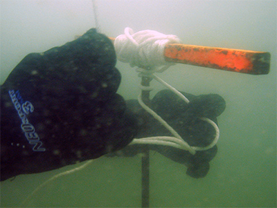
A trilateration system, constructed around a baseline with multiple datum points was chosen. A single datum plane was established, referenced to each discrete datum placed as required around the baseline. Any two datums could then be utilized to take a single point, as well as recording that point's depth below datum by using leveled tapes with an incremental plumb bob. This system thereby provides both horizontal and vertical control, while functioning well within a low visibility, dynamic environment. Artifact recovery was strictly limited to diagnostic materials and objects that were disturbed during controlled testing of the site.
Next