East Carolina University 2008 Fall Field School Methodology Gallery
Making Sense of Site Maps
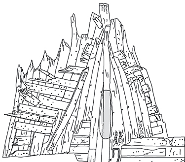
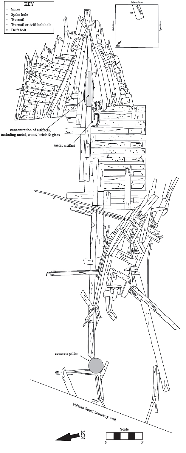
Plan view of partially dismantled wood sailing ship, assumed to be the mid-19th century whaler Candace. To view the full site plan click here.
A site plan is a carefully measured drawing that archaeologists make of a shipwreck and the artifacts on or around the shipwreck. Archaeologists measure the wreck and then transfer their measurements onto graph paper to create a site plan. Site plans help archaeologists see how the whole site looks. They can tell exactly where parts of the ship are in relation to other things onboard and around the site. Archaeologists can also see from site plans how the ship was built.
In the case of the Candace, a site plan is of particular value since the physical site is no longer available for study. Historians, archaeologists, and students will be able to learn from the Candace long after the dust has settled at the excavation site.
Previous Next